In the previous entry of this series, we introduced a new set of innovations that leverage hyperlocal data. However, even with the most disruptive innovations, it is difficult to effect large-scale change without an enabling ecosystem of capable users and institutions.
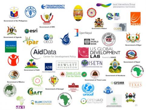
To this end, AidData has collaborated with a broad network of more than 80 partners -- governments, multilateral institutions, non-profits, and the private sector, including engagements with over 25 USAID Missions and operating units -- to scale the “technology” of geospatial data and analysis.

To accelerate local uptake of this technology, AidData has worked with its partners to lower the barriers to entry and thus strengthen the “demand side” of open data. We have made significant investments in building the capacity of development professionals to use geocoded data.
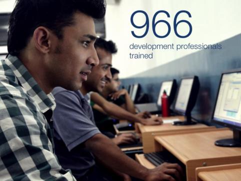
Through our Aid Management Fellows embedded within finance and planning ministries, as well as AidData Summer Fellows who have been placed with development organizations in five different countries, AidData has trained 966 development professionals in spatial data analysis in the first two years of our work with USAID. Demand for this training continues to grow and by the end of 2015, we will have placed a total of 59 fellows abroad. Importantly, through our partnership with Esri, AidData is able to provide GIS software at scale to local partners on the ground.

Kathmandu University in Nepal hosted one of the first AidData Summer Fellows in 2013. After the experience, Dr. Sagar Sharma, head of the Development Studies program, remarked that “with access to geocoded aid data, I can now [assess] what aid looks like in a particular region, district, or sector. This information will make it easier for me to analyze why and how certain types of aid have been effective.”
Kathmandu University was so convinced of the value of geocoded data that they asked AidData to help them create a GIS course in the Masters of Development Studies Program, so that future students would have access to these data and tools. AidData is also engaging with the Makerere University Geomatics Department of Uganda, and the national public university of Honduras, to engage their students in this growing ecosystem.
In another example, last summer we worked with Agency for Transformation in Uganda to provide information on investments in agricultural communities. With these data, Ms. Kyalema Madrina, a smallholder farmer, was able to review the allocation of agricultural resources to her community and hold local officials accountable for investments that had been promised but did not arrive.
And now, through our partnership with the U.S. Global Development Lab, over 150 million individuals such as Sagar and Kyalema live in countries where geocoded information about aid investments is now publicly available.
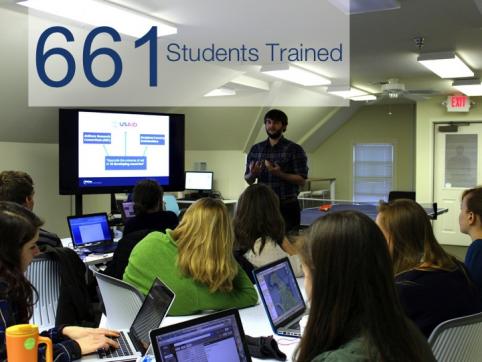
The College of William & Mary has also adapted to respond to the growing demand for spatial data analysis skills. AidData has supported 24 classes to date, which have trained 661 students. We are currently working with support and input from the GeoCenter to create data science courses to be offered in the Fall at W&M that will train an additional 200 students each year.

An example of such a student that we hope will emerge from such a class is Hannah Dempsey, a junior at the College, who is using skills she learned in the classroom to support the USAID GeoCenter’s work with the Armenian Mission on a project tracking fisheries and groundwater. Students such as Hannah will help form a cadre of data-savvy, future development professionals.
In our closing post next Thursday, we'll recap some of the major developments from AidData’s partnership with the U.S. Global Development Lab, and discuss some of our future efforts.


